
Ramsey Previous Residents by Era
Previous residents are found by matching an address period to the record that can actually speak to it. Begin with the current parcel and work backward through the deed chain. Then use directory, census, newspaper, map, and probate material to distinguish ownership from occupancy. The table separates verified coverage from assumptions. The recorder keeps a permanent archive, but its public pages do not publish the earliest online index year, so older work may need an in-person or written-access step.
| Address-history source | Verified era | Custodian or access point | What it can add |
|---|---|---|---|
| Recorded deeds and instruments | Permanent county archive; online start not published | Anoka County Recorder/Registrar, subscription or Room 119 | Grantor/grantee roles, recording date, document number, legal conveyance |
| Ramsey telephone directories | 1979-2005 | MNHS, mixed print and microfiche | Dated subscriber and address clues, with known gaps |
| ACHS newspaper holdings | 1865-2002 for the Anoka County Union | Anoka County Historical Society | Obituaries, notices, community events, and relationships |
| Minnesota state census | 1865-1905 | MNHS microfilm finding aid | Household context under older township names |
| Ownership plats and maps | Especially 1888, 1914, and 1932 | ACHS maps and county GIS context | Legal descriptions and parcel-to-street translation |
For a recent address, use GIS, Property Access, and the recorder first. For a pre-1974 address, add plats, township or county books, newspapers, census, and historic maps early. Note: a source can establish a dated connection to an address without proving that every household member lived there.
Start Ramsey Previous Residents With a PIN
An Anoka County GIS parcel search is the best starting point when a Ramsey street address is known. Search by address or PIN, select the parcel, and retain the PIN, city and ZIP display, legal or subdivision details, and map context. The county says GIS provides parcel searching, current and historic aerials, plats, half sections, labels, measurement, and map-making tools. Its public disclaimer says the viewer is for reference use and gives no accuracy warranty.
The inspected sample GIS address used a PIN of 28-32-25-31-0002 and visibly returned RAMSEY, ZIP 55303, an owner ZIP, and a View Half Section Map link. It did not visibly expose an owner name, complete situs address, assessed value, or legal description in the text capture. Do not fill missing fields with assumptions. A PIN is the county parcel key, while a situs address is the physical location and a mailing address is where notices are sent.
Property Access is the companion source for tax, assessment, sales, valuation notice, property-card, and tax-statement context. It was in a maintenance or disclaimer state during inspection. Its statement instructions cover tax years 2020-present, while the underlying property and deed index start years were not published. Call the county or use the public research area if the portal does not resolve the parcel.
Ramsey Deed Chain for Past Residents
The Anoka County recorded-document access page confirms three useful channels: a subscription service for grantor/grantee searching, public research terminals in Room 119, and a separate optical-image service. The optical service is not an index and excludes large plats. Subscription access and Room 119 are the workable choices for a backward name-and-legal-description search. Room 119 is open Monday through Friday, 8:00 to 4:30, excluding holidays.
- Save the current Ramsey address, GIS PIN, legal description, and the parcel's map or subdivision context.
- Find the most recent conveyance by searching the current owner or the legal description in the recorder index, then request or open the deed image through the available channel.
- Record the grantor, grantee, document number, recording date, instrument type, legal description, and any prior-document reference that the live record displays.
- Search the prior grantee as a grantor, retain the same legal description or PIN, and repeat the process one conveyance at a time.
- When the index or image is unavailable online, use Room 119, county staff, a narrow written request, or the archival route rather than guessing an online cutoff year.
The county identifies common instruments such as deeds, mortgages, and satisfactions. A mortgage, lien, satisfaction, plat, or probate distribution can be important context but does not automatically transfer ownership. Standard copy requests may use a document number; the county lists standard copies at $1 per page and certified copies at $10. Check the current fee schedule before ordering.
Reading Ramsey Deed Roles
Deed language separates people by role. The research did not open a live Anoka index row, so fields that may appear in a particular result should be captured from the record rather than imagined. The county's documented access path supports a practical checklist: party names and roles, instrument type, recording date, document number, legal-description or PIN reference, image access, and any visible prior-document reference. Use the exact label the record uses.
- Grantor
- The party conveying an interest in an instrument. A grantor may be an owner, trustee, representative, or other named party, not necessarily a resident.
- Grantee
- The party receiving an interest. Search a prior grantee as a later grantor to move backward through a transfer chain.
- Chain of title
- A sequence of recorded conveyances connected by the same parcel or legal description, not just a sequence of matching street addresses.
- Legal description
- The lot, block, subdivision, section, or other land description that helps connect a historic record when a street address changed.
Recorder staff cannot provide legal advice. For a question that requires interpreting ownership rights, boundaries, or a document's legal effect, obtain advice from an appropriate qualified professional rather than treating the index as a legal conclusion.
Ramsey Past Residents Before Street Addresses
Some Ramsey properties predate their recognizable modern street address. The Anoka County Historical Society identifies ownership plats especially for 1888, 1914, and 1932, along with city and county maps from the 1850s forward and pre-statehood road surveys. County GIS adds current and historic aerials, plats, and half-section context. Compare lot, block, section, subdivision, acreage, or prior instrument references instead of relying only on a street number.
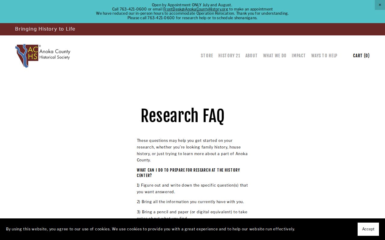
The ACHS house-history research FAQ stresses that building research needs a title or address trail and patience. It also notes that people research is often easier than building research. That is a useful warning for any address history: follow the parcel and the dated documents first, then connect a person to the address only when a source actually does so.
The historical society's research guidance gives a compact view of the questions and source types used for an address trail.
Maps and descriptions can bridge an old locality or land description to a present parcel, but a nearby 1911 Anoka Sanborn map is not a Ramsey-specific map and should not be used as if it were one.
Pairing Ramsey Previous Residents With Census
Deeds establish a legal transaction, not who occupied a property. The household layer comes from time-specific sources. Ramsey's verified telephone-directory subsection runs from 1979 through 2005 and can supply a subscriber and address. Minnesota state-census microfilm covers 1865 through 1905. The historical society adds newspapers, obituaries, naturalization material, selected church and civil records, and maps. The underlying volumes and how to read their entries are covered in the Ramsey city directory collections.
A useful address flow is: current address to GIS PIN, PIN to deed and legal description, each ownership date to the closest telephone listing or census, then that listing to newspapers or obituaries. Keep words such as "listed," "recorded," "enumerated," and "named" tied to the particular source. An obituary can add relatives and a date; a census can give a household snapshot; neither substitutes for a current property record.
The MNHS telephone-directory finding aid shows the Ramsey print and fiche pattern.
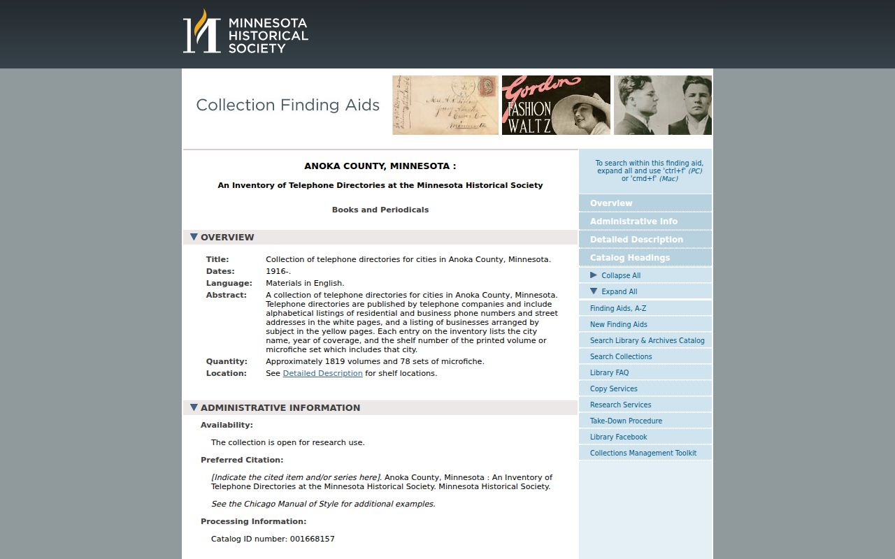
The 1993 gap and the lack of verified pre-1979 Ramsey holdings are reasons to pair the directory trail with newspapers, maps, census films, and the recorder archive.
Ramsey Previous Residents in Newspapers
The Anoka County Historical Society can move an address trail beyond a parcel record. Its newspaper holdings include the Anoka County Union from 1865 to 2002 and the Anoka Herald from 1885 to 1960. Local birth, death, and marriage announcements are indexed by date and last name. The obituary index can lead to a death date, relatives, funeral notice, property transfer, or probate search, though it is not described as a complete county death register.
For remote work, give ACHS an exact name, date, and relationship through its research request form. Staff advise that a long microfilm run for an obituary is not promised without an exact death date. A probate clue can then be routed to Anoka County District Court, while historical probate and vital finding aids at MNHS may point to older material. Treat a person who appears in a notice as a person named in that notice, not automatically as an occupant of the target address.
Note: a dated newspaper notice is valuable corroboration when it agrees with an address, legal description, directory listing, or other independent record.
Ramsey Previous Residents, Gaps, and Limits
Ramsey history has several locality labels. Try Watertown, Dover, Ramsey Township, and Ramsey when a property or family is older than the city. The area was settled as Ramsey in 1858, and Ramsey became a city in 1974. Older records may be filed under a township, river, railroad, school, or landmark reference. No official source reviewed documented a Ramsey courthouse fire, flood, or defined lost decade, so a blank result should not be explained with an invented records loss.
Government data also have limits. A parcel owner, tax addressee, and telephone subscriber are different roles. Safe at Home protections, voter safety withholding, sealed records, adoption data, and driver-license privacy can keep an expected name or address out of public view. Minnesota's Data Practices Act permits a focused written request to the responsible custodian, subject to classifications and allowable costs.
Lawful use. Ramsey address-history research fits family history, estate questions, and property curiosity. Do not use an old address trail to stalk, harass, defraud, or track a living person.