
Ramsey ZIP Code Directory Coverage
The reviewed official sources establish two postal references that matter when researching a Ramsey address. ZIP 55303 is the strongest confirmed Ramsey-city context: it appears in City Hall and new-resident materials and on the inspected county GIS parcel sample. ZIP 55330 appears as an Elk River postal option in the city packet and county ZIP-map context. That second reference is an edge condition, not evidence that every 55330 address is within Ramsey. Confirm every complete address with USPS before assigning it to a geographic search.
| ZIP Code | Areas Covered | Post Office | Notes |
|---|---|---|---|
| 55303 | Primary verified Ramsey-city context; the inspected GIS sample uses this ZIP. | Anoka Post Office, 2168 7th Avenue, Anoka | Use USPS for a specific street. A postal ZIP does not establish the municipal boundary. |
| 55330 | Elk River postal option and adjacent-edge context noted in Ramsey’s new-resident material. | Elk River Post Office, 19120 Freeport Street NW | Do not treat every 55330 address as a Ramsey city address. |
The Anoka County ZIP map is useful visual context, but USPS assigns delivery ZIPs address by address. The research did not verify a Ramsey ZIP split, realignment year, street-by-street boundary file, PO-box-only ZIP, or unique institution ZIP. Leaving those claims out is more accurate than filling the gaps with a generic postal pattern.
USPS Checks for Ramsey ZIPs
The USPS ZIP Code Lookup is the authoritative final check for a current delivery address. Entering a complete street address is the most reliable method. City and state are used when prompted, and the service can return the delivery ZIP and USPS city formatting. The interface is dynamic, so exact labels and alternate ZIP-to-city controls can change. The key point remains stable: use the address result to verify delivery geography, not a map label or an assumption based on a nearby post office.
| USPS search field | Use in a Ramsey ZIP code check |
|---|---|
| Address lookup mode | Choose the current address-to-ZIP search provided by USPS. |
| Street address | Enter the complete delivery address for the most reliable answer. |
| City and state | Supply them when prompted; select Minnesota for Ramsey research. |
| ZIP Code | It can be a result from the address or an input for a ZIP-to-city search where offered. |
| Search and Clear | Submit the address, then reset criteria before testing a different location. |
The successful USPS ZIP lookup capture shows the official interface used to verify a Ramsey address and its delivery ZIP.
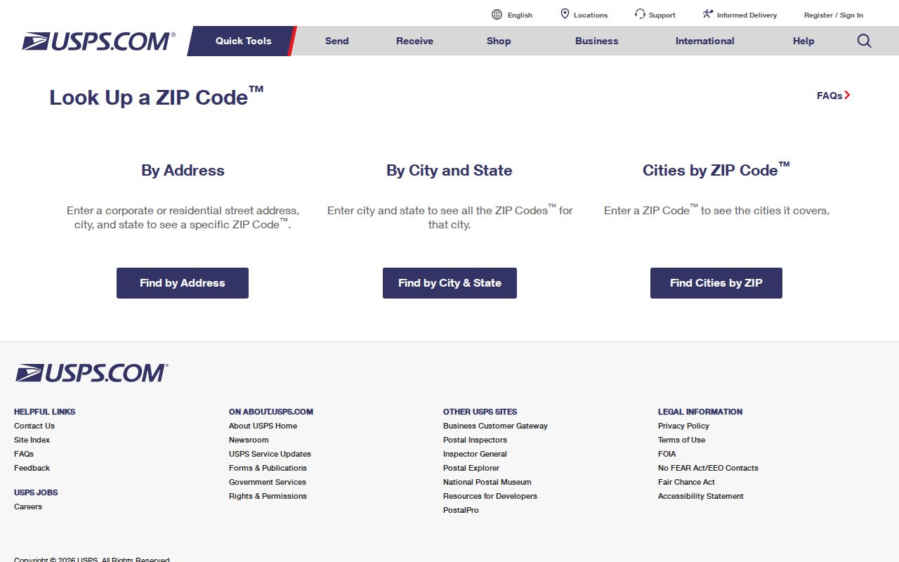
A USPS result settles the current delivery ZIP for the submitted address, while a county GIS result supplies the parcel and municipal context that postal data cannot provide.
Ramsey ZIPs in Property Access
County property sources use a different geography. Anoka County Property Information routes researchers to Property Access and the GIS property search. GIS supports address or PIN searching, a parcel map, aerials, plats, labels, measuring, and map-making tools. The inspected sample showed the city as RAMSEY, ZIP 55303, a PIN, owner ZIP, and a half-section-map control. It did not expose an owner name, full situs address, assessed value, legal description, or sales fields in the text capture.
The successful Anoka Property Access capture documents the official combined-search endpoint and its maintenance or disclaimer state during inspection.
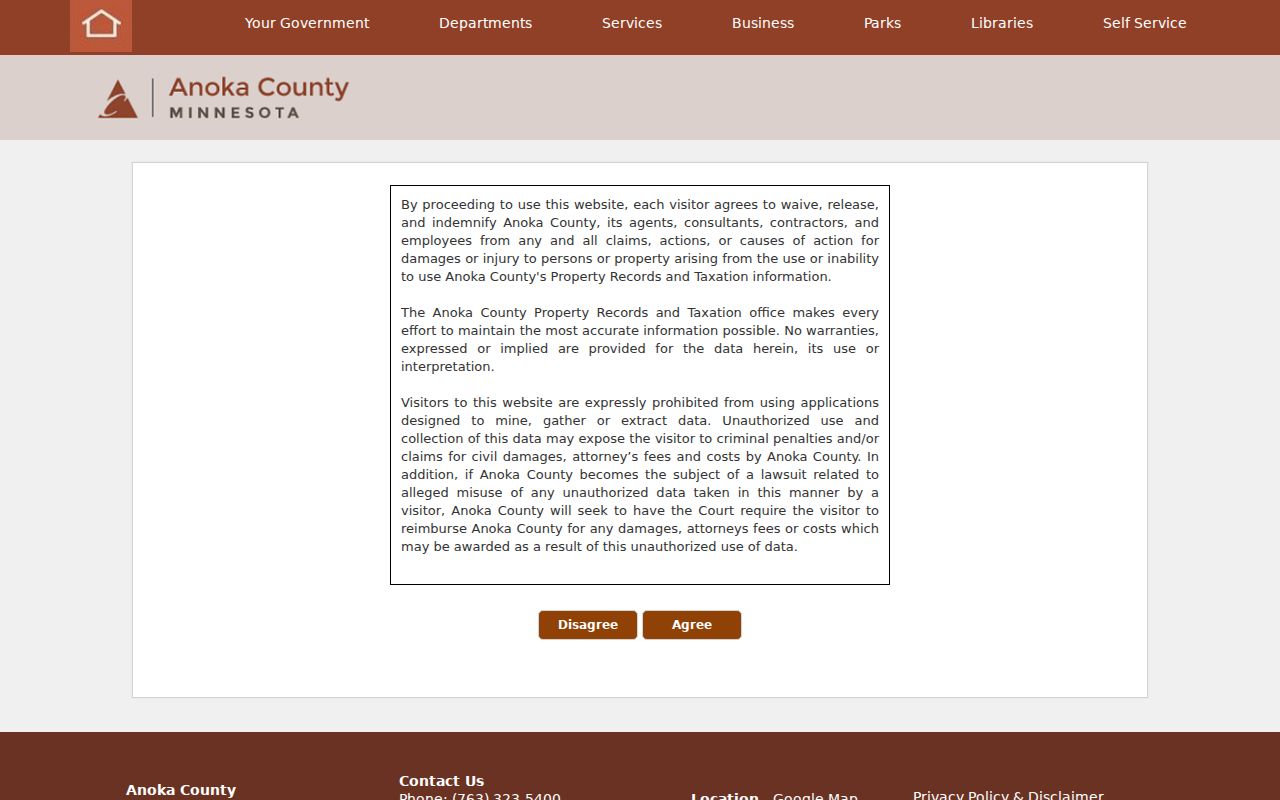
That status is why a Ramsey ZIP code search should keep the GIS, public research room, and county contact channels available instead of claiming an unverified ZIP-wide Property Access filter.
A PIN is the county parcel key. Retain it exactly as displayed, because the public pages do not publish a key for interpreting each number segment. A situs address is the parcel’s physical location, while a mailing address receives correspondence. Neither label alone proves who currently occupies a location.
Find Records by Ramsey ZIP
ZIP mode narrows a search only when the official source actually supports it. USPS confirms the address. MNvotes then uses ZIP, city or township, house number, and a selected street for a person’s own registration confirmation. The county GIS can locate an address or PIN and may display a ZIP in a parcel result, but a ZIP-wide GIS search mode was not verified. Property Access was in a maintenance state when inspected, so its exact ZIP filter and result limits must not be assumed.
- Use USPS with the full delivery address and record the postal city and ZIP returned.
- Check the municipal city and Anoka County separately, then use GIS by address or PIN for a parcel-level result.
- For an individual’s own registration, use the MNvotes ZIP mode with the required name, birth date, ZIP, city or township, house number, and street.
- If a ZIP leaves too large an area, move to the exact street and parcel workflow instead of treating the ZIP as a resident list.
Once USPS and GIS reduce the question to a particular road, the Ramsey street directory has the address-by-address path. A ZIP search is not the right tool for identifying everyone on a road, comparing adjacent parcels, or determining a voting precinct.
Note: Write down the municipal city, county, USPS city, ZIP, GIS situs address, and PIN as separate values before comparing record results.
MNvotes and Ramsey ZIP Codes
MNvotes has a verified ZIP Code search mode, but it is not a ZIP-wide directory. It requires a person’s first name, last name, and date of birth, then ZIP, city or township, house number, and street. If an apartment or unit is selected, that field becomes required. The search returns registration confirmation and next-step guidance for an individual match. It does not offer a casual all-residents extract for a ZIP or address.
| MNvotes control | ZIP-mode rule |
|---|---|
| Name and birth date | First name, last name, and date of birth are required before address matching. |
| ZIP Code search | Select ZIP mode rather than county mode when checking a complete postal address. |
| City/township and street | Both are required, along with a numeric house number and the matched street selection. |
| Apartment or unit | The unit field becomes required when the checkbox is used. |
| Find your registration | Returns individual status guidance, not a ZIP roster. |
Minn. Stat. §201.091 separately governs a public voter-list request. The listed public fields, request eligibility, copy timing, and limits on online republication are statutory matters. Direct questions about that process to Anoka Elections & Voter Registration, rather than treating MNvotes ZIP mode as an export tool.
Ramsey ZIP Geography Over Time
Ramsey’s older records may not use the postal language that appears today. The area was associated with Watertown, Dover, Ramsey Township, and later the City of Ramsey, which incorporated in 1974. A historical deed, newspaper item, or census film can therefore name a township or landmark rather than a current address. The Rum and Mississippi rivers also help explain why older descriptions can use a river, farm, mill, ferry, or section reference instead of a modern street number.
For historical postal questions, USPS provides a ZIP-history and post-office search with From ZIP Code and To ZIP Code fields based on the first three digits. Its historical database may not be current, and the research did not identify a verified local ZIP realignment year. Use a date, the older locality name, the parcel’s legal description, and the appropriate archive or county record together rather than projecting a current ZIP backward.
Ramsey ZIP Evidence Gaps
The Ramsey postal record has deliberately narrow coverage. The official material verifies 55303 as the primary city context and identifies 55330 as an Elk River edge context, but it does not publish a street-by-street city-to-ZIP boundary file. It also does not supply a verified historic split or realignment date, a local PO-box-only ZIP, a unique ZIP, or ZIP-level population for the City of Ramsey. Census figures describe the city or a ZCTA statistical area, not a delivery route and not a resident list.
When a result conflicts, save the source that produced each part of the answer: USPS for delivery ZIP, county GIS for the parcel and PIN, city material for municipal context, and the original record custodian for the underlying record. That source trail is especially useful around the Elk River postal edge. It shows why two true labels can describe different systems instead of treating one result as an error.
Ramsey ZIP Code Directory Limits
A ZIP code is postal geography. A city boundary is a municipal boundary. A Census ZIP Code Tabulation Area is a statistical approximation. Those three shapes can overlap without matching. In Ramsey, 55303 has the best verified city connection, while 55330 needs an address-by-address check because its post-office and adjacent postal context include Elk River. ZIP alone cannot establish municipal jurisdiction, parcel ownership, voting district, school area, or who resides at a given address.
- ZIP Code
- A five-digit USPS delivery-routing code. It is not a municipal or parcel identifier.
- ZIP+4
- An added four-digit delivery detail for a smaller delivery segment. It still does not replace a street address.
- PO-box ZIP
- A ZIP associated with post-office boxes. The research did not verify one for Ramsey, so no local PO-box ZIP is listed.
- Unique ZIP
- A ZIP assigned to one organization or location. No verified Ramsey unique ZIP was found in the reviewed sources.
- Carrier route
- A USPS delivery route grouping. It is not proof of city limits, residency, or parcel ownership.
City mismatch. When a Ramsey mailing label conflicts with GIS or county information, rely on the full USPS result for delivery and the county parcel record for the property’s geographic identity.