
Trace Ramsey Streets by Address
A Ramsey street directory works best as an address chain. Begin by confirming that the address is in the City of Ramsey, Anoka County, rather than a result for Ramsey County or Saint Paul. Then use the address to locate a parcel and retain the PIN, legal description, and city or ZIP value shown. Those keys connect the modern map to tax and assessment reports, conveyance records, permit work, and older address evidence. An owner of record, a tax mailing addressee, a deed party, and an occupant are different roles. Keep that distinction at every step.
- Verify the full delivery address with USPS ZIP Code Lookup, then make sure the municipal and county context is Ramsey, Minnesota, in Anoka County.
- Search the Anoka County GIS Property Search by address or PIN. Click the target parcel and copy the displayed parcel information before moving outward.
- Use Anoka County Property Access for the county’s tax, assessment, sales, valuation-notice, and property-card context. Its maintenance gate means the exact live fields must be checked when available.
- Take the PIN or legal description to Anoka County Recorded Document Access. Follow conveyances backward by grantor and grantee, not by street name alone.
- Use the City of Ramsey’s LOGIS ePermits search to find open permit context at an address. Treat an applicant or contractor as a role in the permit, not proof of residence.
- For a prior period, consult the verified Ramsey telephone-directory holdings and local newspaper or census material. These are dated address clues rather than a present-day household register.
- For a lawful voter-list request, contact Anoka Elections & Voter Registration under the state process, rather than trying to create a streetwide list from the personal lookup.
That order produces a source trail instead of a name list. It also leaves a clear way to revisit a result when a street spelling, municipality label, or property description changes.
Verify Ramsey Street Jurisdiction
Ramsey is a City of Ramsey search in Anoka County. A similarly named county and its Saint Paul offices are not the custodians for this city’s parcel, election, court, or recorder work. A postal label also has its own purpose. County GIS supplies parcel context, the city handles municipal development and permits, and USPS verifies delivery formatting. When an address is new, disputed, or only partly returned by a search, the research supports contacting City Hall or county GIS instead of choosing the closest-looking result.
For historical work, modern city naming may not be enough. The area can appear as Watertown, Dover, Ramsey Township, or Ramsey in older collections. Ramsey became a city on November 12, 1974. A nineteenth-century record may therefore use a township, railroad, river, plat, or legal-description reference where a current street number would be expected. The street directory should retain the source’s original locality label while noting the current Ramsey relationship.
Note: ZIP, municipal city, county, and GIS situs are separate values, so record each one instead of treating a mailing label as jurisdiction.
Browse Ramsey Street Parcels
The county GIS viewer is the most documented starting place for work by street. Its official description confirms parcel searching by address or PIN, map-click parcel selection, current and historic aerials, plats, half sections, measurement tools, map making, and mailing-label capability. Zoom to a road segment, choose a parcel, and record the PIN before opening another source. The viewer is reference-only and carries a county disclaimer, so a map result should be checked against the record held by the appropriate office.
| GIS control | Use on a Ramsey street search |
|---|---|
| Select a layer to search | Choose the client-side layer before entering a value; the full option list was not exposed in the reviewed text. |
| Search value | Use a known address or PIN, the two keys confirmed by the county description. |
| Parcel click | Move from the street view to a specific map-linked parcel. |
| Aerials, plats, half sections | Compare present geometry with subdivision and survey context. |
| Measurement and map tools | Orient the immediate street segment; export details were not verified. |
The captured county sample displayed a Ramsey city label, ZIP Code 55303, a PIN, an owner ZIP, and a link to view a half-section map. It did not expose a full owner name, situs address, assessed value, or legal description in text rendering. Do not fill in those unobserved fields from another source without labeling that source.
Use Ramsey Street Property Access
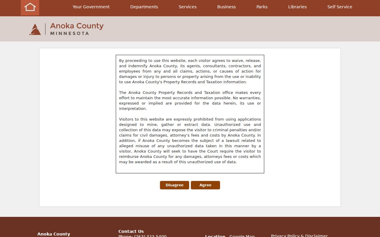
Anoka County Property Access is the county route for tax, assessment, sales, and related property information. During the research inspection, that exact endpoint showed a disclaimer and maintenance state. County instructions separately confirm Basic Search and Multi Year Search for valuation notices, property record cards, tax statements, and proposed tax statements for 2020-present. The street directory therefore names the available report categories but does not promise a live owner-name search or a particular result column.
The official Property Access endpoint displayed the county’s disclaimer and maintenance gate when captured.
| Property Access field or report | Research status | Ramsey address use |
|---|---|---|
| Combined search mode | Confirmed by the endpoint URL | Starts the county property route. |
| Situs/address, owner name, parcel/PIN | Exact live fields not verified during maintenance | Use the complete address or GIS PIN when the portal is available. |
| Tax, assessment, and sales reports | Confirmed categories; live controls not exposed | Supply property context, not a household list. |
| Tax year and report selection | County instructions confirm 2020-present statements and GO workflow | Choose the displayed report and retain its date. |
Room 119 of Property Records & Taxation is the county fallback, along with phone or a focused data request. The agency’s public page describes more than 140,000 properties, so a PIN or legal description is much safer than a common surname.
Follow Ramsey Deed Records
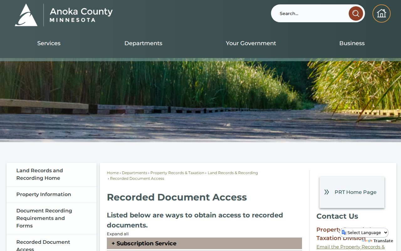
Recorded documents carry the ownership trail along a Ramsey street. The recorder and registrar maintain deeds, mortgages, satisfactions, plats, surveys, and related land instruments. The county confirms three distinct access channels: a subscription service for grantor/grantee searches, a public research area with real-estate and tract terminals in Room 119, and an optical-image service that supplies images without the grantor/grantee index. A document-number request can be mailed, and the county lists standard copies at $1 per page and certified copies at $10.
Anoka County Recorded Document Access describes the subscription, research-room, and image routes for land records.
Start with the current conveyance, retain the legal description and PIN, then search the prior grantee as a later grantor. Record the party role, recording date, instrument type, document number, and any prior-document reference. A mortgage, satisfaction, lien, or plat does not by itself transfer ownership. The county did not publish the earliest online index year, so older address work may require Room 119, archives, or a written request under the Minnesota Government Data Practices Act.
Read Ramsey Street Permit Dates
The City of Ramsey’s LOGIS ePermits search is an address route for open permits. Its official new-resident material directs users there, while the city’s inspection routing covers approved building, mechanical, plumbing, and septic work. Electrical inspections are not part of that online scheduling tool. A permit can date a deck, reroof, addition, plumbing work, or other reviewed project. It does not establish who lived at the property, and an applicant can be an owner, contractor, or another agent.
For a non-posted city record, direct a request to the responsible department with an address, record type, and date span. City-held planning, subdivision, engineering, code, and inspection material may explain why a parcel changed, but no reviewed city source established a public reverse directory of occupants. The public-record request path under Minnesota law is the proper fallback when the online search is not enough.
Note: Treat a permit as dated work at an address, not as proof of a household, ownership interest, or continuing occupancy.
Compare Ramsey Street Records
Street-by-street research is most reliable when every source is kept in its own lane. GIS establishes geography. Property reports describe a parcel relationship. The recorder establishes a document trail. Permits place reviewed work at an address. Historical directories and newspapers add dated context. A voter-list request is governed by a separate law and is not an informal way to assemble names for a street.
| Address record | What it can establish | Ramsey access route | Key limit |
|---|---|---|---|
| GIS parcel map | Parcel shapes, PINs, aerials, plats, and half-section context | County GIS by address, PIN, or map click | Reference-only map; full result fields vary. |
| Property Access reports | Tax, assessment, sales, and property-card context | County endpoint, Room 119, or county contact | Maintenance prevented verification of live fields. |
| Recorder instruments | Grantor/grantee roles, conveyances, legal-description chain | Subscription, Room 119 terminals, images, or copy request | A document party is not necessarily an occupant. |
| City permits | Dated project and inspection context | LOGIS address search or responsible city department | Exact result fields were not verified. |
| Public voter list | Statutorily permitted voter-list fields when lawfully requested | Written or electronic request to Anoka Elections | Use and republication restrictions apply. |
| Telephone directories and newspapers | Dated subscriber, notice, or household clues | MNHS, ACHS, library, or research request | Historical and incomplete by nature. |
The PIN and legal description create the stronger bridge between the parcel and deed chain. The street name is useful for orientation, but it can change form across a plat, a map, a mailing label, and an old newspaper. For a past subscriber or an old address, the Ramsey directory collections provide the historical shelf without turning it into a claim about current residents.
Connect Historic Ramsey Street Addresses
The verified Ramsey telephone-directory subsection at the Minnesota Historical Society covers 1979 through 2005 in mixed print and fiche holdings. A subscriber entry can tie a name to an address at one point in time, but it may not list every member of a household. Pair that clue with the Anoka County Historical Society’s newspapers, obituary materials, maps, census resources, and research service. The historical society also holds plat maps, including 1888, 1914, and 1932 material that can help translate a legal description into a later street pattern.
Older Ramsey searches need geographic patience. Watertown, Dover, Ramsey Township, and Ramsey can all be useful locality terms, while the Rum River, Mississippi River, old railway corridor, and Old Ramsey Town Hall can anchor an older description. The Town Hall served as a polling place until city incorporation, and Ramsey became a city in 1974. Those facts help select terminology and period, not identify a household.
Use Ramsey Voter Records Carefully
Minnesota Voter Registration Lookup is an individual’s own registration and polling-place tool. The personal form asks for name, date of birth, and address information in either ZIP or county mode, and it is updated nightly. It is not a public all-addresses search. For public voter-list research, Minn. Stat. §201.091 calls for a written or electronic request by a registered Minnesota voter and permits specified public fields subject to restrictions.
Anoka Elections must provide a requested copy within five business days after the required reproduction payment, while public inspection is free. The law bars publishing the list online as a searchable database and limits onward access. Safety withholding and pending-applicant rules can also make an address-based result incomplete. Ask the office for the current request process, lawful purpose, format, fee estimate, and data dictionary.
Note: A registered voter, property owner, permit applicant, and telephone subscriber may be different people connected to the same Ramsey address.
Define Ramsey Street Address Terms
Use the field labels supplied by the custodian. That habit keeps a street directory from implying more than a record establishes.
- Parcel or PIN
- A parcel is a defined piece of land; the PIN is Anoka County’s parcel key. Copy the full PIN exactly as it appears.
- Situs address
- The physical location of a parcel. It is not necessarily the address used for tax mail.
- Mailing address
- The place where a notice is sent. It can belong to an owner, trustee, tax agent, or another party outside Ramsey.
- Plat
- A recorded map that lays out a subdivision or parcel pattern and can connect lots and blocks with later addresses.
- Criss-cross directory
- An address-oriented historical directory arrangement used to find a dated subscriber by location rather than by surname.
These definitions keep the address chain readable when a Ramsey street record uses a tax label, subdivision term, or older directory arrangement.
Limit a Ramsey Street Directory
A parcel result does not name every person at an address. Household members, visitors, mail recipients, utility customers, and people whose information is protected will not be supplied by the parcel chain. A property mailing address can be an estate, trustee, or tax agent. Driver-license and identification data are governed by the federal Driver’s Privacy Protection Act through Minn. Stat. §171.12, and Safe at Home participants may have legally protected address information.
When a result is missing, do not treat the absence as proof that a person is not connected to Ramsey. The record may be restricted, held under an older locality or legal description, unavailable online, or never created. A focused Minnesota Government Data Practices Act request can identify the record, date range, and desired format. Inspection is free under Minn. Stat. §13.03; the custodian may charge actual permitted search, retrieval, copying, or transmission costs.
Lawful use. Use Ramsey street and address records for personal, civic, family-history, or property research. Minn. Stat. §609.749 prohibits using information to stalk, harass, or harm another person.